


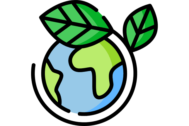


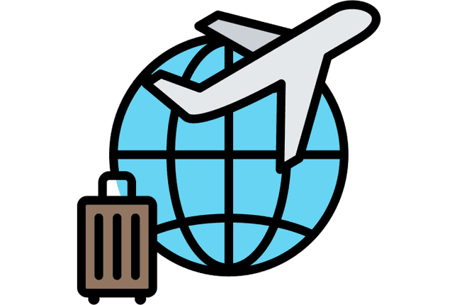

Geography Connects Everything to Everywhere
If you drew a line from your breakfast this morning back to its origin, it would cross at least three countries, two oceans, and touch every branch of geography. The coffee beans (agricultural geography), shipped from Colombia (trade routes), through the Panama Canal (transportation networks), to a port city (urbanization), roasted using natural gas (energy geography), and sold for a price determined by global commodity markets (economic geography). Geography is the subject that connects everything to everywhere.
Most people think geography is about memorizing capitals and coloring maps. That version of the subject died decades ago. Modern geography asks two questions: where and why there. Why do 90% of humans live on 10% of the land? Why does a drought in Brazil raise bread prices in Cairo? Why do some cities thrive while others hollow out? These questions sit at the intersection of science, economics, politics, and technology. Geography is the discipline that holds them together.
Across 45 topics organized into five branches, geography covers the physical systems that shape the planet, the human systems that organize it, the environmental crises that threaten it, the tools that help us understand it, and the global patterns that connect regions to each other. Here is a real look at what each branch contains and why it matters.
| Branch | Focus | Key Questions | Topics |
|---|---|---|---|
| Physical Geography | Earth's natural systems | How do climate, water, soil, and landforms interact? | 10 |
| Human Geography | People organizing space | Why do cities grow? Why do people move? How does culture shape place? | 10 |
| Environmental Geography | Human-nature collision | What happens when 8 billion people stress natural systems? | 10 |
| Geographic Tools | How geographers work | How do GIS, satellites, and GPS turn data into decisions? | 5 |
| Regional & Global | Connections between places | How do trade, energy, and politics link regions together? | 10 |
Physical Geography: The Planet's Operating System
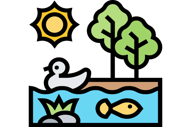
Physical geography studies Earth the way an engineer studies a machine: what are the parts, how do they interact, and what happens when one breaks? The "parts" include the atmosphere (climate and weather), the lithosphere (rocks and landforms), the hydrosphere (water in all its forms), and the biosphere (living ecosystems). These systems do not operate independently. A volcanic eruption (lithosphere) throws ash into the atmosphere, which cools regional temperatures (climate), which shifts rainfall patterns (hydrosphere), which stresses crops and ecosystems (biosphere). Physical geography maps these chain reactions.
Climate, Weather, and the Systems That Drive Them
Climate systems set the baseline conditions for life in every region on Earth. The difference between climate and weather is the difference between your personality and your mood. Climate is the long-term pattern; weather is what happens on Tuesday. The Koeppen classification system divides the planet into climate zones (tropical, arid, temperate, continental, polar), each with distinct vegetation, agriculture, and settlement patterns.
El Nino and La Nina illustrate how interconnected these systems are. A shift in Pacific Ocean surface temperatures can cause drought in Australia, floods in Peru, and failed monsoons in India, all within the same 12-month period. Farmers, shipping companies, and emergency planners across multiple continents watch Pacific sea surface temperatures for exactly this reason. Understanding climate systems is not academic. It is the foundation of agricultural planning, disaster preparation, and urban design.
Natural disasters sit at the intersection of physical geography and human vulnerability. Earthquakes follow tectonic plate boundaries with remarkable precision. The "Ring of Fire" around the Pacific Rim produces roughly 90% of the world's earthquakes and 75% of its volcanic eruptions. But geology alone does not determine disaster. An earthquake of the same magnitude kills far fewer people in Tokyo (strict building codes, early warning systems, rehearsed evacuation) than in Kathmandu (older construction, limited infrastructure). The geographic study of natural disasters is as much about where people live and how they build as it is about the Earth's internal forces.
Landforms, Water, and Soil
The physical shape of the land determines where people can live, farm, build, and travel. Topography explains why the Indo-Gangetic Plain supports over 400 million people while the Tibetan Plateau, roughly the same size, supports fewer than 10 million. Flat, fertile river plains collect soil deposits over millennia, creating some of the most productive farmland on Earth. Mountain ranges, by contrast, limit agriculture but control weather patterns by forcing moist air upward, creating rain on one side and desert on the other (the rain shadow effect).
Water resources are geography's most contested topic. The Nile, shared by 11 countries, has been the source of diplomatic tension for decades, especially after Ethiopia built the Grand Renaissance Dam upstream. The Ogallala Aquifer beneath the American Great Plains irrigates about 30% of U.S. cropland but is being drained far faster than it refills. Soil types add another layer: alluvial soils near rivers support intensive agriculture, while laterite soils in tropical regions lose fertility quickly once forest cover is removed. These physical systems create the constraints within which every human system operates.
Oceans, Ecosystems, Glaciers, and the Edges
Oceans cover 71% of the planet but receive a fraction of the attention land gets. They regulate global temperature, absorb roughly 30% of human-produced CO2, and support fisheries that feed over 3 billion people. Coastal zones are some of the most densely populated places on Earth, which makes sea level rise a direct threat to hundreds of millions of people.
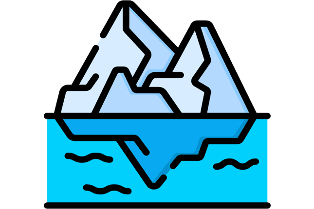
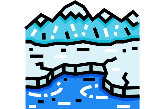
Ecosystems and biomes are not just biology topics. They are geographic systems with spatial boundaries, resource flows, and vulnerability patterns. The Amazon rainforest, for instance, generates about half of its own rainfall through transpiration. If enough forest is cleared, the remaining forest could dry out, converting one of Earth's largest carbon sinks into a carbon source. Glaciers function as freshwater reservoirs for billions of people in Asia and South America. The Ganges, Indus, and Yangtze rivers all depend on Himalayan glacial melt. Those glaciers are shrinking.
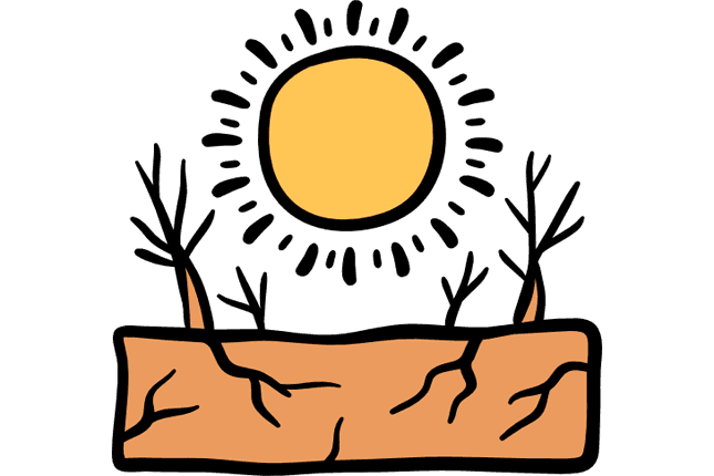
Resource distribution and desertification round out physical geography's scope. Where fossil fuels sit underground, where wind blows consistently, where soil degrades into desert, these facts shape economic and political reality more than most policy debates acknowledge.
The Amazon rainforest produces roughly 6% of the world's oxygen and generates about 50% of its own rainfall through transpiration. If deforestation crosses a critical threshold (estimated at 20-25% of the original forest), the remaining forest may not produce enough moisture to sustain itself, potentially triggering a large-scale conversion from rainforest to savanna. Current deforestation stands at roughly 17%.
Human Geography: How People Organize Space
Physical geography sets the stage. Human geography studies what people do on that stage. The 10 topics in this branch cover where people live, how cities grow, why people move, and how culture, economics, and politics shape the spaces humans occupy.
Population, Cities, and Migration
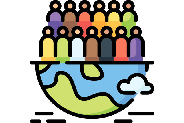
Population distribution is strikingly uneven. Roughly half the planet's population lives in a small band of Asia stretching from eastern China through India. Meanwhile, vast stretches of Siberia, the Sahara, and the Australian interior are nearly empty. This distribution is not random. People cluster where water, arable land, moderate climate, and economic opportunity overlap.
Urbanization is the defining demographic trend of the 21st century. In 1950, about 30% of humanity lived in cities. Today, that figure is around 56%, and the UN projects it will reach 68% by 2050. This shift is not evenly distributed. Most of the growth is concentrated in African and Asian cities, many of which lack the infrastructure to absorb millions of new residents. Lagos, Nigeria, grew from 1.4 million people in 1970 to over 15 million today. The challenges of housing, sanitation, transportation, and employment at that scale are geographic problems as much as political ones.
Migration drives much of this change. People move for jobs, safety, education, and family. The patterns are predictable once you understand the geography: rural-to-urban migration follows economic opportunity, cross-border migration follows wage differentials and conflict zones, and climate migration is accelerating as droughts, floods, and heat make certain regions less habitable. The World Bank estimates that by 2050, up to 216 million people could be internally displaced by slow-onset climate impacts. That is a geographic prediction, not a political one.
Studies natural systems: climate, landforms, water, ecosystems, glaciers, resources. Asks "what processes shaped this landscape?" Uses field surveys, climate models, remote sensing data. Time scale: millions of years to seasonal cycles. Primary tools: GIS, satellite imagery, geological surveys.
Studies human systems: cities, migration, culture, economics, politics. Asks "why do people organize space this way?" Uses census data, economic indicators, cultural analysis. Time scale: decades to centuries. Primary tools: demographic models, spatial statistics, ethnographic research.
Culture, Economy, and Political Boundaries
Cultural geography examines how language, religion, food, and customs vary across space and why. The global distribution of languages, for example, maps onto historical trade routes, colonial expansion, and geographic barriers. Spanish is spoken across most of Latin America not because of shared geography but because of 16th-century colonialism. Arabic spreads across North Africa and the Middle East partly because desert geography created trade corridors that carried religion and language together. Understanding these patterns is essential background for anyone working in history, international business, or diplomacy.
Economic geography asks why certain industries cluster in specific places. Silicon Valley exists because of Stanford University, military research funding in the 1950s, and a self-reinforcing cycle of talent and capital that made leaving more costly than staying. Detroit became the auto capital because of proximity to iron ore, coal, and the Great Lakes shipping network. When those advantages eroded, so did the city. These patterns connect directly to economics, but geography provides the spatial dimension that pure economics misses.
Political geography studies borders, territorial disputes, and how governments organize space. The South China Sea, the Kashmir region, and the Arctic are all zones where geography (resources, strategic position, shipping lanes) creates political tension. Borders themselves are geographic constructs. Some follow natural features (the Rio Grande between the U.S. and Mexico, the Pyrenees between France and Spain), while others were drawn by colonial powers with little regard for the ethnic, linguistic, or watershed boundaries beneath them. Many of Africa's conflicts trace back to colonial-era borders that split ethnic groups across countries or forced rival groups into a single state.
Globalization is the geographic process of increasing interconnection between places. It is not new (the Silk Road was globalization in the 2nd century BCE), but the scale and speed are. A factory closure in Shenzhen can affect inventory in Walmart stores within weeks. A drought in Brazil can move coffee futures in New York within hours. Transportation networks make this possible: container shipping, air freight, rail corridors, and highway systems that move goods, people, and ideas across space. Settlement patterns and rural and urban development complete the human geography picture, showing how people organize themselves at every scale from village to megacity.
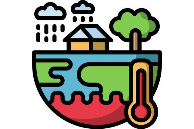
Environmental Geography: Where Human Activity Meets Natural Limits
Environmental geography sits at the collision point between the first two branches. Physical geography describes how natural systems work. Human geography describes how people organize space. Environmental geography studies what happens when 8 billion people push natural systems past their limits.
Climate Change, Deforestation, and Biodiversity
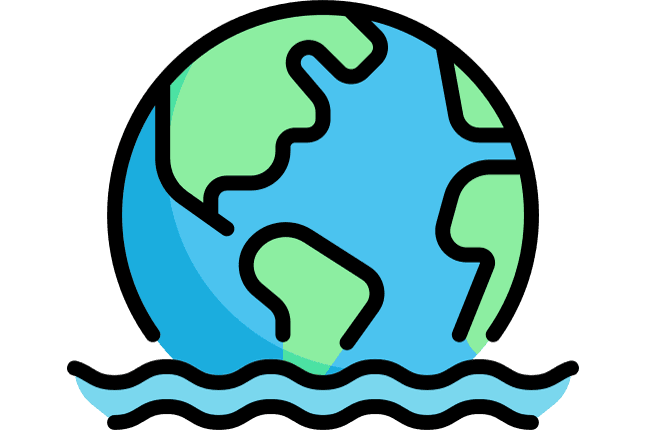
Climate change is the largest geographic event in human history. It is reshaping coastlines, shifting agricultural zones, intensifying storms, and forcing migration patterns that will redraw the political map of the 21st century. The geographic dimension is critical: climate change does not affect everyone equally. Low-lying island nations face existential threats from sea level rise. Sub-Saharan Africa faces crop failures from shifting rainfall. Arctic communities face the collapse of ecosystems their cultures depend on. The effects are distributed along existing lines of geographic inequality.
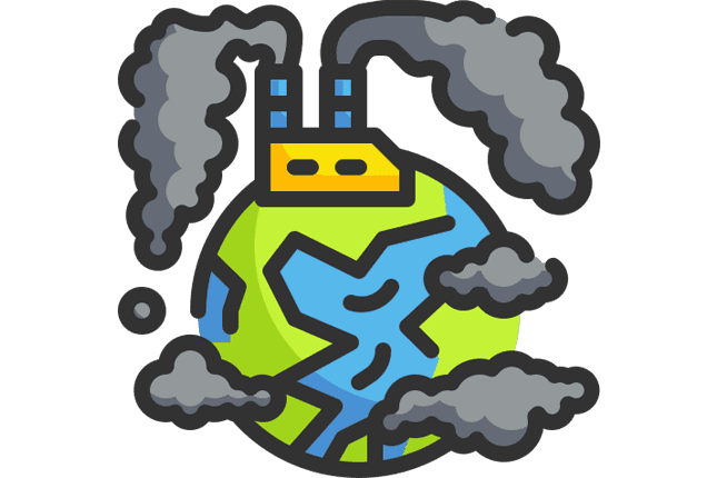
Deforestation is both a cause and a symptom. Tropical forests in Brazil, Indonesia, and the Congo Basin are cleared for cattle ranching, palm oil, and soy production, activities driven by global demand from wealthy countries. The resulting carbon emissions accelerate warming, while the loss of forest cover disrupts regional rainfall and destroys biodiversity hotspots. The tropics hold over two-thirds of all terrestrial species, concentrated in areas that are shrinking every year. Biology can catalog the species lost; geography explains the spatial patterns, economic drivers, and feedback loops that make deforestation so persistent. A consumer in London buying a hamburger is connected, through a chain of land use, supply chains, and commodity markets, to a cleared patch of Amazon forest. Geography traces that connection.
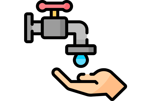
Water, Energy, and Urban Stress
Water scarcity already affects roughly 2 billion people, and that number is rising. The geography of water scarcity is not simply "dry places lack water." Cape Town, South Africa, nearly ran out of water in 2018 despite being a modern, relatively wealthy city. The problem was a combination of drought, population growth, aging infrastructure, and agricultural demand, all geographic factors. The Middle East, Central Asia, and parts of India face similar convergences.
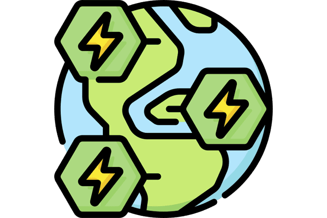
Energy geography connects resource location to consumption patterns. The world's oil is concentrated in a few regions (the Persian Gulf, Siberia, West Africa, the Gulf of Mexico), while energy demand is concentrated in others (East Asia, Europe, North America). This mismatch creates the shipping routes, pipelines, and geopolitical relationships that define much of modern politics. The transition to renewables is also a geographic story: solar potential is highest in deserts, wind potential along coastlines and plains, geothermal near tectonic boundaries. The places that dominate the fossil fuel era will not necessarily dominate the renewable era.
Sustainability ties these threads together as a framework for balancing human needs with natural limits. The concept is geographic at its core: it asks whether a specific place can support its current population and economic activity without degrading the resources future generations will need. Conservation applies this at the ecosystem level, protecting biodiversity hotspots, managing national parks, and creating marine protected areas that allow fish stocks to recover.
Pollution and waste management are geographic problems because pollution does not respect borders. Smog from Chinese factories drifts to Korea and Japan. Plastic waste from European and American consumers washes up on beaches in Southeast Asia. The geography of waste reveals uncomfortable truths about which communities bear the costs of other communities' consumption. Urban heat islands add a local dimension, showing how concrete and asphalt absorb and re-radiate heat, making city centers 5-10 degrees Celsius warmer than surrounding rural areas. During heat waves, this difference becomes lethal, disproportionately affecting low-income neighborhoods with fewer trees and less green space. It affects energy consumption, public health, and urban planning for every major city.
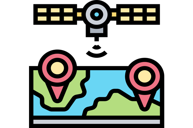
Geographic Tools and Techniques: How Modern Geography Works
Geography used to mean explorers with compasses and hand-drawn maps. Modern geography runs on satellites, databases, and algorithms. The five topics in this branch cover the tools that make contemporary geographic analysis possible, and these tools have applications far beyond academic geography.
GIS, Remote Sensing, and GPS
Geographic Information Systems (GIS) are the backbone of modern geography. A GIS layers different types of spatial data, such as population density, elevation, water access, soil type, and road networks, onto a single map, allowing analysts to see relationships that would be invisible in a spreadsheet. Emergency responders use GIS to route ambulances. Retailers use it to choose store locations. Epidemiologists used it to track COVID-19 spread. Urban planners use it to decide where to build new transit lines. If you have ever used Google Maps, you have used a simplified version of GIS.
Remote sensing collects data about Earth's surface from satellites and aircraft. Landsat satellites have been photographing the entire planet since 1972, creating a visual record of deforestation, urban sprawl, ice sheet retreat, and agricultural change spanning five decades. This data is publicly available. Researchers in any country can download Landsat imagery and measure, say, how much of the Amazon has been cleared since 1990 or how much a glacier has retreated since 2000. GPS adds precision positioning, enabling everything from precision agriculture (tractors that follow pre-programmed paths to within 2 centimeters) to earthquake monitoring (detecting millimeter-scale ground movement along fault lines).
Cartography and Spatial Analysis
Cartography is the oldest geographic tool, and it is more relevant now than ever. Every map makes choices about what to show and what to hide, and those choices shape perception. The Mercator projection, still the most common world map, makes Greenland appear the same size as Africa, when Africa is actually 14 times larger. This is not a trivial point. Map projections have historically reinforced biases about which regions matter and which do not.
Spatial analysis is where geography becomes quantitative. It uses statistical methods to identify patterns in geographic data: clustering of disease outbreaks, correlations between soil quality and crop yield, optimal locations for wind farms based on topography and wind speed data. Combined with GIS, spatial analysis turns raw geographic data into actionable decisions. During the COVID-19 pandemic, spatial analysis helped public health officials identify hotspots, predict spread patterns, and allocate hospital resources. In agriculture, it helps farmers apply fertilizer only where soil tests indicate deficiency, reducing cost and environmental runoff. This is the technical heart of applied geography, and it overlaps significantly with data science and statistics.
GIS, remote sensing, and spatial analysis are not just geography tools. They are among the most employable technical skills in 2026. The U.S. Bureau of Labor Statistics projects 5% growth for geospatial roles through 2032, and GIS skills are in demand across urban planning, environmental consulting, logistics, public health, defense, agriculture, and real estate. If you combine GIS proficiency with domain knowledge in any of these fields, you have a career advantage that pure generalists cannot match.
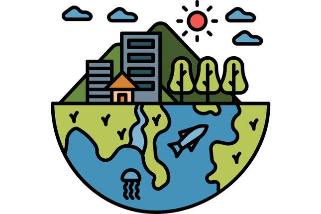
Regional and Global Geography: Connections Across Borders
The final branch zooms out to the connections between regions. Trade routes, energy politics, supply chains, resource conflicts, food security, tourism, and the geography of extreme environments (Arctic, marine, mountain) all fall here. This is geography at its most applied, dealing with the systems that link economies and nations to each other.
Trade, Supply Chains, and Energy Geopolitics
Trade routes are the arteries of the global economy. The Strait of Malacca, a narrow channel between Malaysia and Indonesia, carries roughly 25% of all seaborne trade. The Suez Canal connects the Mediterranean to the Indian Ocean. The Panama Canal links the Atlantic to the Pacific. Block any one of these chokepoints and global supply chains buckle within days. When the Ever Given container ship blocked the Suez Canal for six days in 2021, it disrupted an estimated $9.6 billion in daily trade.
Global supply chains are geographic structures. A smartphone contains minerals mined in the Congo, refined in China, assembled in Vietnam, shipped through the Strait of Malacca, and sold in Europe. Each link in that chain has a geographic location, and disruptions at any point, whether from a pandemic, a war, or a natural disaster, ripple through the entire system. The COVID-19 pandemic exposed just how fragile these chains are when geographic chokepoints shut down.
Energy geopolitics is inseparable from geography. Russia's natural gas pipelines to Europe gave Moscow political leverage for decades. Saudi Arabia's oil reserves give it outsized influence in global markets. China's dominance in rare earth mineral processing (over 60% of global capacity) creates supply dependencies that shape tech industry strategy. These are not just economic stories. They are geographic stories about where resources sit, who controls the territory above them, and what routes connect producers to consumers.
Using shadow angles in two Egyptian cities, he estimated Earth's circumference to within 2% of the actual value. Geography begins as a mathematical science.
Compiled coordinates for 8,000 locations and introduced latitude/longitude grids. His errors (underestimating Earth's size) later convinced Columbus a westward route to Asia was feasible.
The most accurate world map for three centuries, created in Sicily by a Moroccan geographer for a Norman king. Geography has always been cross-cultural.
Solved the navigation problem (straight lines on the map = constant compass bearing) but distorted land area, making Europe and North America appear disproportionately large.
Alexander von Humboldt connected climate, vegetation, geology, and human activity into a unified geographic framework, essentially inventing modern physical geography.
First satellite dedicated to observing Earth's land surface. Began the era of remote sensing and global environmental monitoring from space.
Geographic Information Systems move from military and research labs into urban planning, business analytics, public health, and eventually consumer navigation apps.
Food Security, Resource Conflicts, and Tourism
Food security is a geographic problem with no purely economic solution. The world produces enough calories to feed everyone, yet 735 million people face chronic hunger. The problem is distribution, storage, transportation, and access, all geographic variables. Ukraine and Russia together export roughly 30% of the world's wheat. When Russia invaded Ukraine in 2022, grain exports dropped, and food prices spiked across Africa and the Middle East, regions that depend on Black Sea grain shipments. A war in one region created food insecurity in another. That is geography in action.
Natural resource conflicts follow a predictable geographic logic. Where valuable resources (oil, minerals, water, fertile land) overlap with weak governance and ethnic tensions, conflict tends to follow. The eastern Congo's mineral wealth funds armed groups. The Nile's water volume creates tension between Egypt and Ethiopia. Arctic ice melt is opening new shipping routes and exposing seabed resources, drawing competing territorial claims from Russia, Canada, the U.S., and the Nordic countries.
Tourism geography examines how the movement of travelers reshapes economies and environments. Tourism is the world's largest service industry, accounting for roughly 10% of global GDP before the pandemic. It can lift rural economies (ecotourism in Costa Rica, cultural tourism in Bhutan) or destroy the places it celebrates (overtourism in Venice, coral reef damage in Thailand). The geography of tourism asks who benefits, who bears the costs, and how places can manage visitor flows sustainably.
Arctic and Antarctic geography and marine geography cover Earth's last frontiers. The Arctic is warming two to three times faster than the global average, opening shipping routes, exposing resources, and threatening Indigenous communities whose cultures depend on ice. The deep ocean, covering most of Earth's surface, remains less mapped than the Moon. Mountains supply water to half the world's population through glacier melt and snowpack, while serving as biodiversity corridors and climate regulators. Urban planning brings geographic thinking to the design of cities: zoning, green space, transit, density, and the spatial distribution of services that determine whether a city works well or poorly for its residents.
Why Geography Matters More Now Than Ever
Three converging trends are making geographic literacy more important than it has been in generations.
Climate change is redrawing the map. Agricultural zones are shifting. Coastlines are retreating. Water supplies are becoming less predictable. Cities that were built for one climate are adapting (or failing to adapt) to another. Every major infrastructure decision for the next 50 years, where to build, what to grow, how to generate power, where to allow settlement, is fundamentally a geographic decision informed by climate projections.
Urbanization is accelerating. By 2050, roughly 2.5 billion more people will live in cities than do today. Most of that growth will happen in places that currently lack adequate infrastructure. The challenges of housing, water, sanitation, transportation, energy, and employment for these expanding cities are geographic problems. Understanding how cities grow, how they can be planned, and how urban environments create their own climate effects is not optional knowledge for anyone involved in policy, development, or engineering.
Supply chains have become geopolitical weapons. The pandemic, the war in Ukraine, the U.S.-China trade conflict, and the scramble for critical minerals have all demonstrated that supply chains are not just logistics problems. They are geographic vulnerabilities. Understanding where things come from, what routes they travel, and what chokepoints they pass through is now considered a national security skill. Companies and governments that lack geographic awareness of their supply chains are exposed to disruptions they cannot predict or mitigate.
A 2022 National Geographic survey found that only 17% of young Americans could locate Afghanistan on a map (despite 20 years of U.S. military involvement there) and only 1 in 3 could find the Pacific Ocean. Geographic illiteracy is not just embarrassing. It leads to poor decisions at every level: voters who cannot evaluate foreign policy claims, business leaders who underestimate supply chain risks, and policymakers who design climate adaptation strategies without understanding the physical systems they are trying to manage.
How the 45 Topics Connect
Geography's real power is in connections. The 45 topics across five branches are not separate silos. They form a web where pulling one thread moves everything else.
Start with climate change. Rising temperatures accelerate glacier retreat, which reduces water resources for downstream populations, which intensifies water scarcity, which stresses agriculture, which threatens food security, which drives migration, which increases urbanization pressure, which creates more urban heat islands, which increases energy demand for cooling, which generates more emissions, which accelerates climate change. That single chain touches topics in all five branches.
Or follow the economic geography thread. Industry clusters where resources, labor, and transportation networks intersect. Those clusters drive urbanization. Growing cities consume energy, generate pollution, and produce waste. The products they manufacture travel through global supply chains along trade routes, creating the interdependencies that define globalization and fuel the geopolitics of energy.
This interconnection is what makes geography different from other subjects. History studies events in sequence. Economics models systems abstractly. Biology focuses on living systems. Geography holds the spatial dimension that connects all of them, asking not just what happened or how systems work, but where and why there.
Every map is a theory about what matters. A topographic map says elevation matters. A political map says borders matter. An economic map says trade flows matter. Geography is the discipline that reads all the maps at once, overlays them, and asks what the combined picture reveals. No other subject does this.
Geography is not a subject about maps. It is the subject that explains why the world is arranged the way it is, and what happens next. The 45 topics here cover the physical systems, human patterns, environmental crises, technical tools, and global connections that make that understanding possible. Whether you are trying to understand why your city is getting hotter, why gas prices spike when a canal gets blocked, or why people are moving from one region to another, you are asking a geography question. The answers start here.